
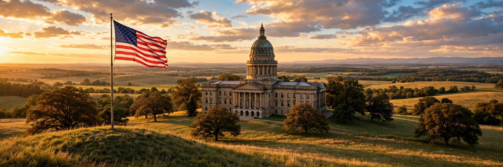
The American flag has fifty stars, one for each state, and most of us learn that number so early that we rarely stop to ask how it came to be. It feels permanent, almost like a fact of nature. But the United States was not born with fifty states, and the number has changed many times over more than two centuries. So, why does the USA have 50 states? The answer is a story of colonies, purchases, wars, westward expansion, and a long, careful process by which new territories earned their place in the Union.
Understanding that story helps you read an American map in a whole new way. Every state boundary, from the straight lines of the western states to the winding borders of the east, marks a moment in history. Some states joined willingly after years of waiting. Others were carved out of land bought from foreign powers, won in war, or settled by pioneers who traveled thousands of miles. Together, they explain how a small strip of Atlantic colonies grew into a nation stretching from the Atlantic Ocean to the Pacific, and from the Arctic north of Alaska to the tropical shores of Hawaii.
Why Does the USA Have 50 States? The Short Answer
Why does the USA have 50 states? Because fifty separate territories, colonies, and regions each went through the process of becoming a state, and Congress admitted each one into the Union, one at a time. The last two admissions happened in 1959, when Alaska became the 49th state on January 3 and Hawaii became the 50th state on August 21. Since then, no new state has been admitted, so the number has stayed at fifty for more than six decades.
That short answer, however, hides a much richer history. The United States did not simply collect states like stamps. Each admission involved people, politics, and often years of debate. Some territories waited decades for statehood. Some were divided, merged, or reshaped before they joined. And the Constitution itself set the rules for how the whole process would work, rules that still apply today if a territory ever seeks statehood in the future.
It All Started With Thirteen Colonies
The story begins with thirteen British colonies along the Atlantic coast. In 1776, those colonies declared independence, and after the Revolutionary War, they became the first thirteen states under the new Constitution. Delaware was the first to ratify the Constitution, in December 1787, followed by Pennsylvania, New Jersey, Georgia, Connecticut, Massachusetts, Maryland, South Carolina, New Hampshire, Virginia, New York, North Carolina, and finally Rhode Island in 1790.
Those thirteen states were very different from one another. Virginia was large and agricultural, Massachusetts was a center of trade and learning, and tiny Rhode Island guarded its independence fiercely. Yet they agreed to form a single federal union, sharing a national government while keeping many powers for themselves. That balance between national unity and state independence is still at the heart of American government today, and it is one reason the idea of adding a new state has always been treated so seriously.
From the very beginning, the founders expected the country to grow. The Northwest Ordinance of 1787, passed even before the Constitution took effect, laid out how new territories west of the Appalachian Mountains could eventually become states. It promised that new states would enter the Union on an equal footing with the original thirteen, not as second-class colonies. That promise shaped every admission that followed.
How Does a Territory Become a State?
The Constitution gives Congress the power to admit new states. In practice, the process has followed a familiar pattern. First, a territory builds up a population and organizes a government. Then its people vote on a proposed state constitution and ask Congress for admission. Congress debates the request, sometimes for years, and if it agrees, it passes an act of admission. The president signs it, and the territory officially becomes a state.
There is no single fixed population number required by the Constitution, and Congress has weighed each case on its own merits. Politics often played a large role. In the years before the Civil War, for example, the balance between free states and states where slavery was legal was a constant source of tension, and admissions were sometimes paired to keep that balance. After the Civil War, the focus shifted to westward expansion, railroads, mining, and farming, and new states in the West joined in a steady stream through the late 1800s.
Becoming a state matters enormously to the people who live in a territory. Residents of a state elect voting members of Congress, vote for president, and gain full representation in the federal government. Residents of a territory, by contrast, have more limited representation. That difference is why statehood movements have always stirred such strong feelings, both among supporters and among those who opposed admission at the time.
Westward Expansion Filled In the Map
Much of the growth of the United States came from land deals and exploration. The Louisiana Purchase of 1803, in which the United States bought a vast territory from France, roughly doubled the size of the young nation and eventually contributed land to many states, including Louisiana itself, which was admitted in 1812. Florida was acquired from Spain and admitted in 1845. Texas, which had been an independent republic after breaking away from Mexico, joined the Union the same year.
The Mexican-American War, which ended in 1848, brought a huge stretch of the Southwest and California into American hands. The California Gold Rush that began the same year drew hundreds of thousands of people westward, and California was admitted as a state in 1850, just two years after gold was discovered there. Oregon followed in 1859, and during the Civil War era, Kansas, West Virginia, and Nevada joined the Union. West Virginia is a special case: it split from Virginia during the Civil War and was admitted as its own state in 1863.
The decades after the Civil War saw the fastest wave of admissions. Colorado joined in 1876, the year of the national centennial. North Dakota, South Dakota, Montana, and Washington all joined in 1889, and Idaho and Wyoming followed in 1890. Utah joined in 1896. By the early 1900s, only a few territories remained on the mainland. Oklahoma was admitted in 1907, and then New Mexico and Arizona, admitted in January and February 1912, completed the map of the contiguous United States. For nearly half a century, the country had forty-eight states, and the flag carried forty-eight stars.
Travelers who love the open road can still trace this history today. A classic drive along Route 66 passes through states that joined the Union in very different eras, from Illinois in the east to California in the west, and each stop tells a piece of the westward story. Likewise, the great lakes and rivers that drew settlers west remain some of the country’s most beautiful places, as any list of the most beautiful lakes in the USA will show.
Why Does the USA Have 50 States Instead of 51 or More?
After Arizona joined in 1912, the map of the mainland was complete, but the United States still held territories beyond the continent. Alaska and Hawaii were the two that eventually became states, and their stories explain the final jump from forty-eight to fifty. Alaska, purchased from Russia in 1867, was long dismissed by critics as a frozen wilderness, but its strategic importance during the Second World War and its growing population changed minds. Hawaii, with its Pacific harbors and growing economy, followed a similar path, and both territories pressed hard for statehood through the 1950s.
Congress admitted Alaska first, in early 1959, and Hawaii later that same year. The flag gained its fiftieth star on July 4, 1960, when the new fifty-star design became official. Since then, the number has not changed, not because the process ended, but because no other territory has completed it. Several territories remain part of the United States without being states, and that is the key to understanding the current total.
The Last Two States: Alaska and Hawaii
Alaska is by far the largest state, bigger than Texas, California, and Montana combined, and its landscape ranges from Arctic tundra to temperate rainforest. Its admission reflected both its resources and its strategic position in the North Pacific. Hawaii, by contrast, is a chain of volcanic islands in the middle of the Pacific Ocean, and it remains the only state made up entirely of islands. Its culture, climate, and history are unlike any other state, which is part of why both states capture the imagination of travelers and students alike.
The two states also show how different the paths to statehood could be. Alaska’s journey took more than ninety years from purchase to admission, slowed by its small population and remote location. Hawaii’s path was shaped by its plantation economy, its diverse population, and its importance as a naval and commercial crossroads. In both cases, the people of the territory voted for statehood, Congress approved, and the president signed the admission act.
Territories That Are Not States
Today, the United States has five permanently inhabited territories: Puerto Rico, Guam, the United States Virgin Islands, the Northern Mariana Islands, and American Samoa. Their residents are American citizens in most cases, though the exact legal status varies by territory, and they live under American sovereignty. Yet they are not states, so they do not have voting representation in Congress or votes in the Electoral College in the same way states do.
Puerto Rico, the largest of the territories by population, has held votes on its political status several times, with results that have been debated and interpreted in different ways. Guam and the other territories have their own local governments and distinct cultures. Whether any of them will one day become a state is a political question that only Congress and the people of the territory can settle together. Until that happens, the count remains at fifty.
There is also the District of Columbia, the national capital, which is not a state either. Its residents have long debated their status too, and proposals to make it a state have been introduced in Congress but have not become law. The existence of territories and the district is a reminder that the number fifty is a historical outcome, not a rule written into the Constitution. The Constitution sets no maximum number of states.
Why the Number Stopped at Fifty
So why has the number stayed at fifty since 1959? In short, because no territory has since completed the full journey to statehood. Statehood requires broad political agreement, both within the territory and in Congress, and that agreement has not come together for any current territory. Some territories have shown divided opinions about whether they even want statehood, preferring their current status or another arrangement. Others have simply not been the focus of a sustained admission effort in Congress.
History also suggests that admissions tend to come in waves, often driven by larger events. The early republic added states as settlers moved west. The Civil War era added states shaped by the slavery debate. The late 1800s added western states as railroads and mining boomed. The 1959 admissions reflected the postwar world, in which Alaska and Hawaii mattered strategically. Without a similar driving force, the map has stayed the same, and Americans have grown used to a fifty-star flag.
That stability can be misleading. The flag itself has changed many times, with a new star added for each new state, and flag designs have been updated twenty-seven times in total. The current fifty-star design, created after Hawaii joined, has now lasted longer than any previous version. It is a symbol of a Union that grew steadily for nearly two centuries and then settled into its present shape.
What the Fifty States Mean Today
Each state keeps its own constitution, governor, legislature, and courts, and states control many areas of daily life, from education to local roads. At the same time, all fifty share a common citizenship, a common currency, and a federal government that handles defense, foreign policy, and interstate commerce. That combination of unity and diversity is the practical meaning of the federal system the founders designed.
For travelers, the fifty states offer an astonishing range: deserts and glaciers, small New England towns and sprawling western ranches, historic battlefields and modern cities. Nature lovers often plan trips around the country’s great landscapes, from the towering cliffs of the Grand Canyon to the geysers of Yellowstone. Each state adds something distinct to that picture, which is why the number fifty feels so rich: it is not just a count, it is fifty different ways of being American.
So the next time someone asks, “Why does the USA have 50 states?” you will have the full answer. It has fifty states because thirteen colonies became the first states, because the nation grew across a continent through purchase, war, and settlement, because each new territory earned admission through Congress, and because Alaska and Hawaii completed that journey in 1959. No law fixes the number at fifty forever, but history, politics, and the choices of the territories themselves have kept it there ever since.
Want to explore more of the American story? Start with the states themselves. Pick a state you have never visited, learn how and when it joined the Union, and plan a trip to see what makes it unique. The map is an invitation, and every star on the flag has a story worth knowing.